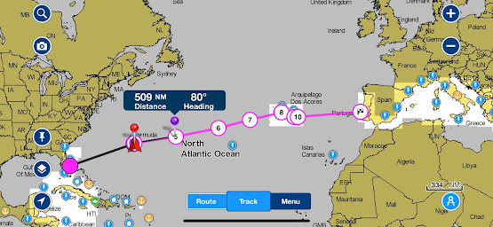
gps coordinate to gpx then shown in windy for better weather view

As Danny has a iridiumGO on board, they set it to transmit their position to me every few hours. I put it manually on a google sheet: it was pretty difficult to present a route on google map, but these days, google provide "google data studio", make things pretty easy to present a google map with stuff on google sheet. As weather man, I use windy or openCPN with zygrib to draw out the relation between route and wind before they go. But as they moves on, I wish to show their current position on windy instead of planned route. So that I can tell them what to expect when they call me with few days interval. I can manually adding gps coordination in windy, or make a gpx file to be imported to windy. you can also write a python to do this, I tried an "easier" way: I first convert data from google data studio as a CSV.(this will contain only data presented on data studio) I use this site to convert CSV to gpx https://www.gpsvisualizer.com/ Once down load the gpx file, ...